Training course 'Spatial biomass quantification with GIS'
We offer online and in-house training in open source GIS software to our project partners and their associated institutions. Courses can last several weeks and cover the basics of GIS analysis, data processing, mapping and visualisation, as well as advanced topics such as statistical modelling and remote sensing classification. The aim is to build capacity in biomass research and to transfer our knowledge to project partners so that project results can be embedded in a self-sustaining and sustainable way.
Example: Spatial assessment of the availability of biomass using geographic information systems (GIS)

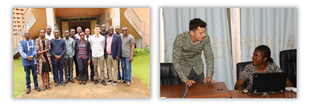
The course was developed specifically for the LabTogo project with the aim of transferring the methods developed and used for the spatial quantification of residues. In addition to PhD students and research assistants from the University of Lomé, who are also involved in the LabTogo project, Masters students from related research areas from the WASCAL network (West African Science Service Centre on Climate Change and Adapted Land Use) also participated.
Example: Digital data acquisition and field data collection with KoboToolbox in the ETH-Soil project

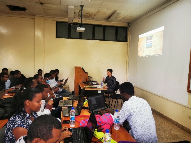

The aim of the training at Jimma University was to introduce staff to the use of KoBoToolbox, a free online tool for collecting geo-referenced data. With KoBoToolbox, online questionnaires can be created and evaluated in real time. The tool allows questionnaires to be completed both online and offline and to be tagged with a GPS position, enabling standardised data collection in the field. In addition, the data is stored in machine-readable form and can be further used via an API interface.
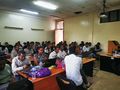
With almost 100 participants from different faculties of Jimma University, the training was well received and the feedback was very positive.